North Pennines Road Trip 🚗⛰️
Disclosure: This post may contain affiliate links, meaning I get a commission if you decide to make a purchase through my links, at no extra cost for you!
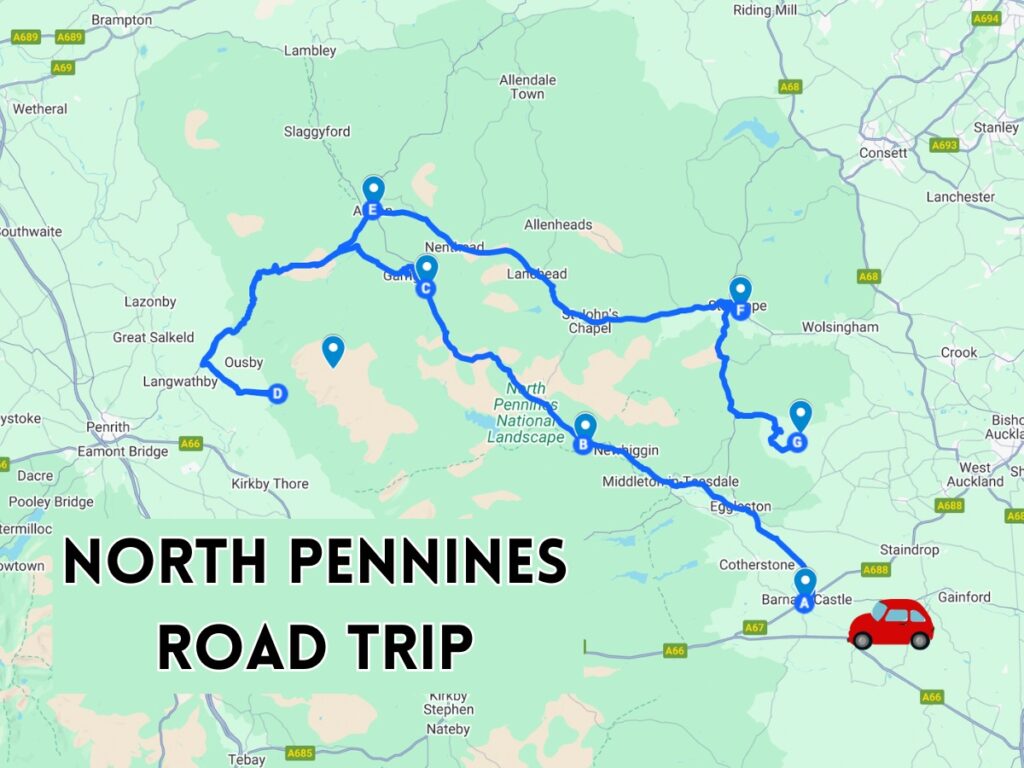
This 100-mile route takes you through the North Pennines Area of Outstanding Natural Beauty, featuring castles, waterfalls, forests, and high fell hikes—perfect for a peaceful and nature-filled escape.
🚗 Need a car for this road trip?
If you don’t have your own car, I’d really recommend renting one — it gives you the flexibility to stop at each waterfall and explore at your own pace.
I usually use DiscoverCars to compare prices and find the best deals across different rental companies.
👉 It’s really easy to use:
- Compare multiple providers in one place
- Cheaper than booking direct
- Free cancellation on most options
- Their 3rd party insurance is a lot cheaper
- They have a great customer service for claims (though I hope you won’t have to use it!
North Pennines Road Trip Itinerary Summary

📍 Barnard Castle 🏰
📍 High Force Waterfall 💦
📍 Ashgill Force 🌲
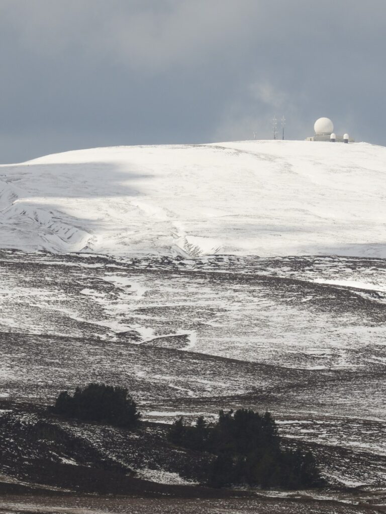
📍 Cross Fell – 9-mile hike from Kirkland 🥾
📍 Alston 🚂
📍 Weardale Railway 🚞
📍 Hamsterley Forest 🌳
Total Distance: 🚗 Approx. 100 miles
📸 Photos & Info are located further down. Keep scrolling to see all these places. ⬇️
Get the FREE North Pennines Road Trip Map!
Additional Information & Highlights
📍 Barnard Castle

📍 High Force Waterfall
📍 Ashgill Force

📍 Cross Fell