
Peak District Caves Road Trip 🚗🕳️
Disclosure: This post may contain affiliate links, meaning I get a commission if you decide to make a purchase through my links, at no extra cost for you!
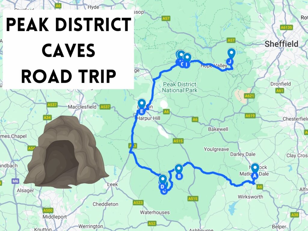
Explore the underground wonders of the Peak District with this 60-mile road trip, featuring show caverns, hidden caves, and dramatic limestone formations.
⭐ Want all my Peak District recommendations?

150+ Places in the Peak District – straight into your Google Maps!
It includes:
⭐ Highlights
🌿 Landmarks
🥾 Hikes
🏘️ Villages
🌄 Beautiful Views
🚴 Cycling routes
🚗 Scenic roads
🍽️ Food & drink
🏡 Accommodation
🅿️ Car parks
Peak District Caves Road Trip Itinerary Summary
📍 Show Caverns, Heights of Abraham, Matlock 🚡
📍 Wolfscote Dale Cave 🌿
📍 Thor’s Cave 🛡️
📍 Wetton Mill Caves, Wetton 🏞️
📍 Poole’s Cavern, Buxton 🕳️
📍 Blue John Cavern, Castleton 💎
📍 Speedwell Cavern, Castleton 🚤
📍 Treak Cliff Cavern, Castleton ✨
📍 Peak Cavern, Castleton (also known as “The Devil’s Arse”) 😈
📍 Robin Hood’s Cave, Stanage Edge 🏹
Total Distance: 🚗 Approx. 60 miles
📸 Photos & Info are located further down. Keep scrolling to see all these places. ⬇️
This Peak District Caves Road Trip is ideal for adventure seekers, geology fans, and walkers, offering a mix of boat rides, show caves, hikes, and hidden natural wonders. 🌄🧭📸
Get the FREE Peak District Caves Road Trip Map!
Additional Information & Highlights
📍 Thor’s Cave


