
County Durham Waterfalls Road Trip 🚗💦🏞️
Disclosure: This post may contain affiliate links, meaning I get a commission if you decide to make a purchase through my links, at no extra cost for you!
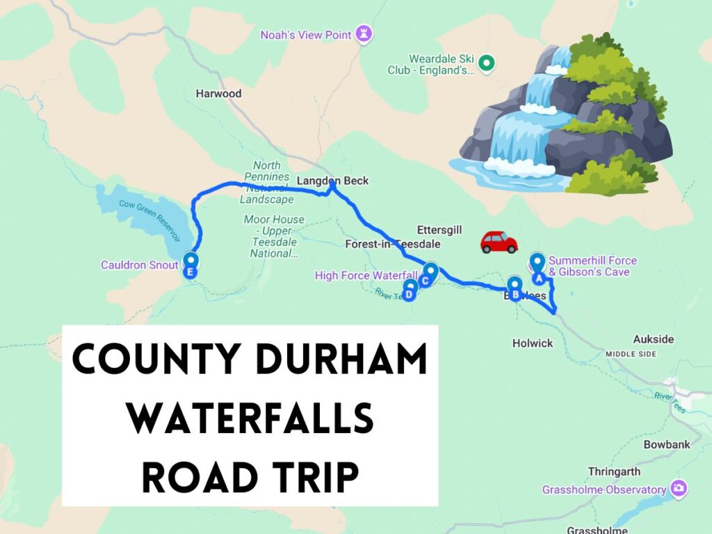
Discover some of the most scenic waterfalls in County Durham with this short but beautiful route.
County Durham Waterfalls Road Trip Itinerary Summary

📍 Summerhill Force & Gibson’s Cave 💧
📍 Low Force 🌊
📍 High Force 🏞️
📍 Bleabeck Force 💦
📍 Cauldron Snout 🌪️
Total Distance: 🚗 Approx. 11 miles
Recommended Time: ⌛ 2 days
📸 Photos & Info are located further down. Keep scrolling to see all these places. ⬇️
This waterfall-packed road trip offers breathtaking views and peaceful walks — ideal for nature lovers and photographers. 📸🥾🌿
Get the FREE County Durham Waterfalls Road Trip Map!
🚗 Need a car for this road trip?
If you don’t have your own car, I’d really recommend renting one — it gives you the flexibility to stop at each waterfall and explore at your own pace.
I usually use DiscoverCars to compare prices and find the best deals across different rental companies.
👉 It’s really easy to use:
- Compare multiple providers in one place
- Cheaper than booking direct
- Free cancellation on most options
- Their 3rd party insurance is a lot cheaper
- They have a great customer service for claims (though I hope you won’t have to use it!
Additional Information & Highlights
📍 High Force




It would be very helpful if you stated whether or not the ‘Durham waterfalls route’ was dog friendly.
Love exploring and walking